Topspot Map N204 10 Thousand Islands Florida Area Fishing and Recreation Map

Brand:Topspot

3.6/5

55.67

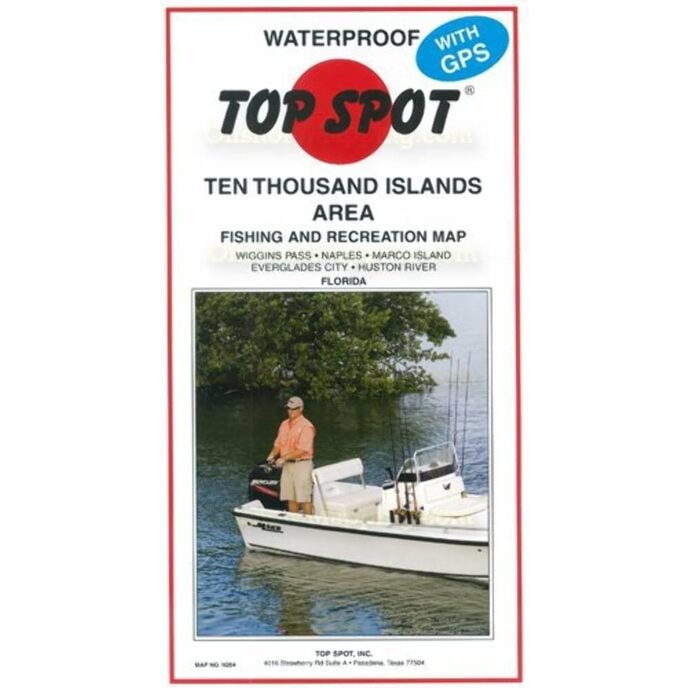
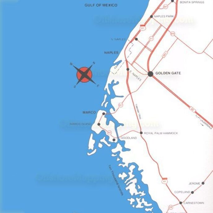
The Top Spot Map N204 10 Thousand Islands Florida Area Fishing and Recreation Map includes freshwater, inshore and offshore saltwater areas. Detailed information and GPS coordinates are provided for fishing locations, boat ramps, marinas and other points of interest.

Amount
Add to CartBuy now

EAN: 0737703002047

Categories Sports & Outdoors, Hunting & Fishing, Fishing, Charts & Maps,

Fishing and diving recreation map. Gulf of Mexico. Includes areas of Wiggins Pass, Naples, Marco Island, Everglades City and more. Waterproof.
Brand Name ‎Topspot
Customer Reviews 4.5 4.5 out of 5 stars 56 ratings 4.5 out of 5 stars
Item Dimensions LxWxH ‎6 x 10 x 3 inches
Item Package Dimensions L x W x H ‎12.95 x 6.81 x 0.2 inches
Item Weight ‎0.02 Pounds
Manufacturer ‎Top Spot
Package Weight ‎0.11 Kilograms
Part Number ‎N204

3.6

8 Review
5 Star
79
4 Star
6
3 Star
7
2 Star
5
1 Star
4

Write your review

Your email will not be published. All mandatory fields are marked with*

Scritto da: Michael R. Rhodanz
Plenty of detail.
Don't head off into the Ten Thousand Islands area without one.
Scritto da: Rajman
Good depth map
Fishing hot spots outdated.
Scritto da: ctb1950
Great waterproof charts
I live in SW Florida, the Top Spot charts are ideal for fishing since they are waterproof, can be marked on with a sharpie or dry erase marker, and provide general locations where conditions are right for various types of fish!
Scritto da: Alum
Local West Marine, local Ace Hardware no inventory of Top Spot charts but ole Amazon does. Ty
Great detail use this chart w Google maps and you can’t get lost.
Scritto da: oh2btan
Top Spot Map N204 10
This is like my 7 map I have purchased for different locations and it is great as are the other Top Spot maps. The details are just what I was looking for.
Scritto da: Marc
Must Have
I purchased this TopSpot map plus N207 for a kayak trip around Florida I did with a friend in 2014. The trip was 1515 miles long. We used GPS units to navigate but were glad to have these TopSpot charts for the Thousand Island and Everglades sections. They came in really handy. They are waterproof and durable. I recommend them highly.
Scritto da: Michael
Not completely waterproof
Kayaking
Scritto da: Amazon Customer
Nicely done. large scale
Nicely done. large scale, clear. Will try it in January and see if it is accurate on the water.

Related products

Discover our international network

We ship to 28 countries, over 200,000 products. Stay updated, subscribe to the newsletter.

Array