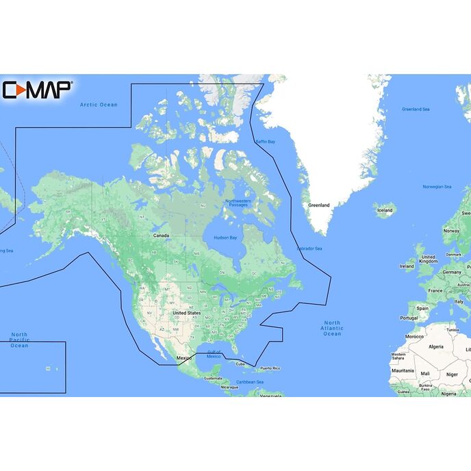
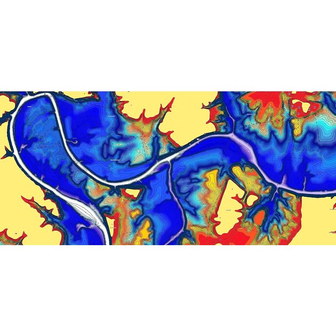
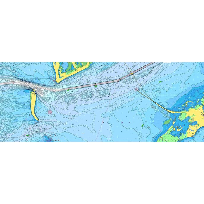
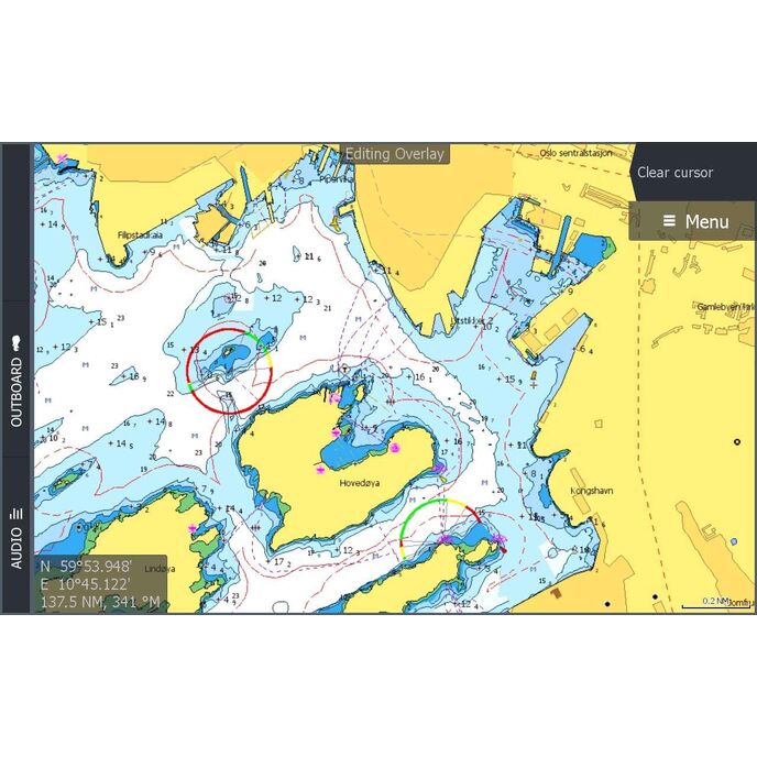
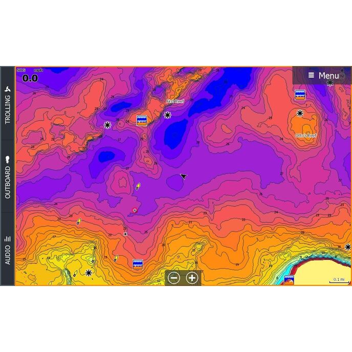
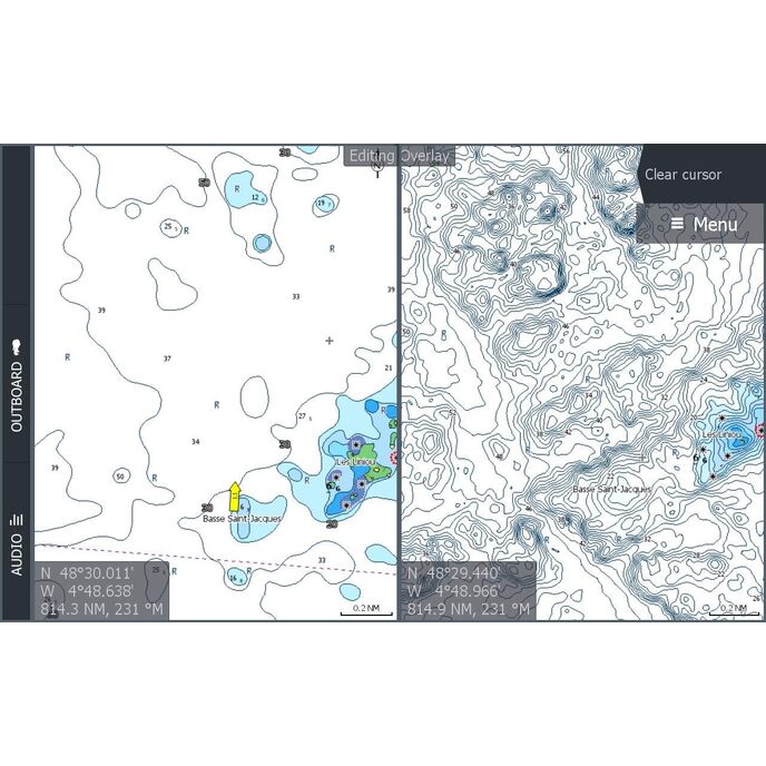
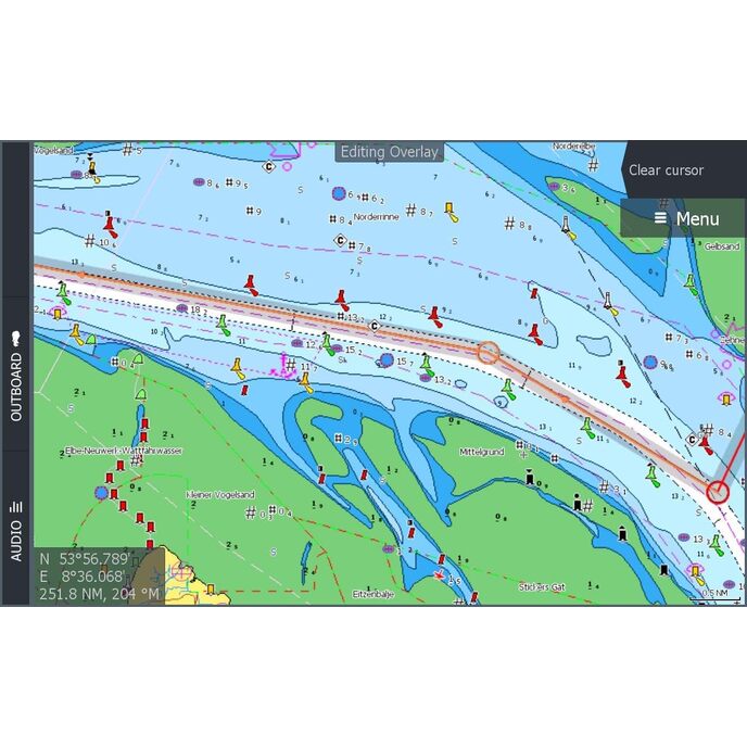
Cruising, fishing or sailing, C-MAP DISCOVER charts offer ultra-wide coverage and include all of the core features you need to make the most of your time on the water. DISCOVER includes the very best of C-MAP High-Res Bathy, including integrated Genesis data, full-featured Vector Charts with Custom Depth Shading, Tides & Currents and subscription-free Easy Routing. Purchase includes 12 months of free online updates. Compatible with Lowrance, Simrad & B&G chartplotters. Key Features * Ultra-Wide Coverage – the largest geographical coverage, without compromising on chart quality. * High-Res Bathy – helps you identify shallow areas, drop-offs, ledges, holes or humps. Now includes compiled and quality-controlled Genesis detail as part of singular HRB layer. * Full Featured Vector Charts – making navigation easy by giving you accurate, up-to-date vector chart detail derive from official Hydrographic Office information. * Custom Depth Shading – set a clear safety depth, maintain a paper-like view or create your own custom shading. * Easy Routing – helps you automatically plot the shortest, safest route based on detailed chart data and your personalized vessel information. No subscription required. * Tides & Currents – shows projections of water level and direction of tides to help plan your day out, cruising, angling or sailing. * Detailed Marina Port Plans – docking in an unfamiliar port is no problem when you have precise layouts of thousands of marinas, including slip spaces, restricted areas and other valuable navigation information. * Harbor & Approach Details – unprecedented level of detail. Approach any harbor and inlet with confidence. The perfect conclusion to a long voyage, sailing adventure or an exciting day of fishing. * Online Updates – keep your chart up to date, with 12 months’ free online updates.
EAN: 9420064118892
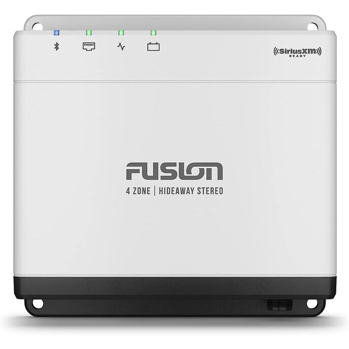
Categories Electronics, Car & Vehicle Electronics, Boat Electronics, Marine GPS Chartplotters,
| Brand | C-MAP |
| Country of Origin | USA |
| Customer Reviews | 4.0 4.0 out of 5 stars 40 ratings 4.0 out of 5 stars |
| Exterior | Brushed |
| Item model number | M-NA-Y200-MS |
| Item Weight | 1.41 ounces |
| Manufacturer | Lowrance |
| Manufacturer Part Number | M-NA-Y200-MS |
| Model | M-NA-Y200-MS |
| Package Dimensions | 5.83 x 4.09 x 0.24 inches |